I worked with Adrian and Dylan for a few community projects like street markets and concerts.
These guys are good.
I reached out to see if they were willing to do the projects on a short lead time. They followed up same-day with action-plans ready to review for approval. They even pre-planned permits and other liability mitigation protocols I hadn't thought about.
Would gladly work with them again!
Adrian with Apollo Drone Services was excellent to work with! He responded quickly, was professional, friendly, and made the entire process easy. The shots he captured were high-quality and exactly what we needed. Highly recommend!

Apollo Drones did some great work with us. We’ve been trying to get a nice street view and interior of of our business. Their staff was professional, on time, courteous, and produced multiple videos we have used with our social media platforms. Highly recommended. Ask for Adrian if you are in the Sacramento area. Helped us a ton with marketing in a unique way. Thank you.
Adrian was extremely professional from start to finish, taking all the necessary steps to ensure proper permissions and legal compliance for flying a drone at the event location. His team was equally professional, respectful, and seamless to work with during the event.
The quality of the photos and recap videos was excellent, and the turnaround time was impressively quick. If you’re looking for high-quality aerial and event coverage with a reliable, professional team, I would absolutely recommend Apollo Drone Services for any project.
Our NARI golfers had a blast at the annual tournament! It was our first time doing a ball drop and we weren't sure how it would go but Adrian was great, getting everyone excited and coordinating with the Whitney Oaks golf course personnel for the best viewing of the ball drop. It was a huge success - we definitely want Adrian and Apollo Drone back for our next golf tournament!
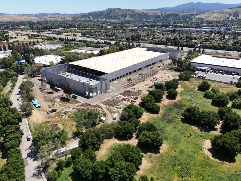
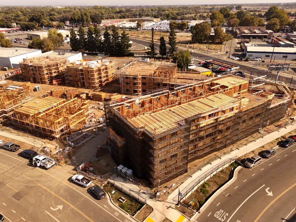
If you need construction photography and drone/video done right, I’d recommend Apollo Drone Services without hesitation! Adrian made room for us last minute, showed up prepared and professional, and helped guide us with smart questions, so we got the shots that mattered. The finished content looks fantastic and reflects the project really well. Thanks Adrian!
Adrian is a seasoned professional. He is very personable and responsive. His expertise and knowledge are key to making any drone service he provides thorough, accurate and consistent. I always enjoy working with Adrian and Apollo Drone Services. Highly recommended!